Showing posts with label Cattedown. Show all posts

12 January 2018

Barbican to Laira Bridge improvements


Work to improve walking and cycling links between the Barbican and Laira Rail Bridge will get under way on Monday 8 January.

The route, which forms part of the South West Coast Path and National Cycle Network route 27, will benefit from improved road crossings, new and improved footways and off-road cycle paths, on-road cycle lanes, cycle parking, better signage and new lighting.

Benches will be provided on Breakwater Hill so that people can stop to enjoy the spectacular views and vegetation will be cut back.

Construction will start around Clovelly Road and Teats Hill Road, with temporary traffic lights in operation until mid-February.

Improvements to the off-road walking and cycling route on Finnigan Road will follow, lasting for around six weeks (during which time sections of the footway and cycleway will be closed).

The southern end of Faraday Road will need to be closed for one night – yellow signs will be put out in advance to let people know when this is due to take place. Work is expected to finish by April.

Councillor Patrick Nicholson, Deputy Leader and Cabinet Member for Strategic Transport, Housing and Planning, said: “These proposals were very well received during consultation and l look forward to seeing the improvements delivered in plenty of time for the summer. They will make it easier and safer for people to walk and cycle between our beautiful waterfront and the east of the city.”

Repairs to the Sutton Harbour footbridge are currently being scoped out but it is hoped these works will be completed in the summer.

The Barbican to Laira Rail Bridge improvements will be fully funded through the Heart of the South West Local Enterprise Partnership’s Local Transport Board and Section 106 developer contributions.

Further enhancements are planned between Cattedown Road and Finnigan Road, with consultation expected to take place in Summer 2018.

The scheme includes:

  • Improved road crossings, new and improved footways and off-road cycle paths, on road cycle lanes, cycle parking, better signage and new lighting.
  • Improvements will be made on a number of roads including Teats Hill Road, Clovelly Road, Finnigan Road and Faraday Road, as well as Breakwater Hill, where benches will be installed so that people can stop and rest while enjoying spectacular views over Plymouth Sound.  Bollards will also be installed on Breakwater Hill to ensure that no unauthorised vehicles can be driven onto the path but allow access for people using mobility scooters.
  • A minor extension of the 20mph speed limit to include an additional length of Teats Hill Road, as well as Commercial Ope.

he expected construction programme is as follows:

•           Commercial Road/Teats Hill Road junction – traffic lights from 8 January to mid February and footway closure.

•           Finnigan Road – footpath closure from mid February to end of March.

•           Faraday Road junction – night closure 22 March.

•           National Marine Aquarium – only pedestrian barriers around working areas. Access for public maintained at all times. Mid to end of March.

•           Breakwater Hill (and other areas) – reduced width footpaths for street lighting works.  Dates to be confirmed; works will be completed before the end of March.

Updates to construction dates will be published on this webpage.  Our contractor, South West Highways will liaise with residents to minimise disruption.

In order to undertake these works safely, three-way traffic lights will be in operation, and lanes will be narrowed.  Please note that delays are possible whilst these works are in progress.

Part of the scheme is to undertake resurfacing works at the junction of Victoria Wharf and also the entrance to Mitchell and Webber on Clovelly Road.  We anticipate that this work will be undertaken at night to ease any disruption to the businesses in both locations whilst keeping noise to a minimum. In addition, the parking area outside Marine House will also be affected whilst some of the works are in progress. We will notify residents and businesses that will be affected as soon as dates and times of these works are confirmed.

We will endeavour to maintain access to your property or business at all times and keep any inconvenience to a minimum, although some interruption and reduced access may be unavoidable and for this we apologise in advance.  Please speak with our operatives, if you have concerns about access.

In partnership with Sutton Harbour Holdings and the Environment Agency, work to repair the lock bridge will continue in the hope that it can be reopened in the summer.


More detailed drawings on each section can be found here on the Plymouth City Council web site
barbican laira path

The route of the path is shown in red

I am not a cyclist but love this section as a good walk. It would be nice if they could add a few pointers along the way to illustrate just how this industrial area of Plymouth has changed so much over the years.

See also previous posts on Plymothian Transit:

19 October 2016

Cattewater Branch Line

I was actually looking for something else when I came across this little gem of a video:

A little trip to down the Cattewater branch in 150927 on a Branch Line Society / Locomotive & Carriage Institution charter train. First passenger train down the branch in 14 years. With thanks to Network Rail and First Great Western

Video by Kev Adlam on You Tube

Cattedown Branch The Cattedown Branch

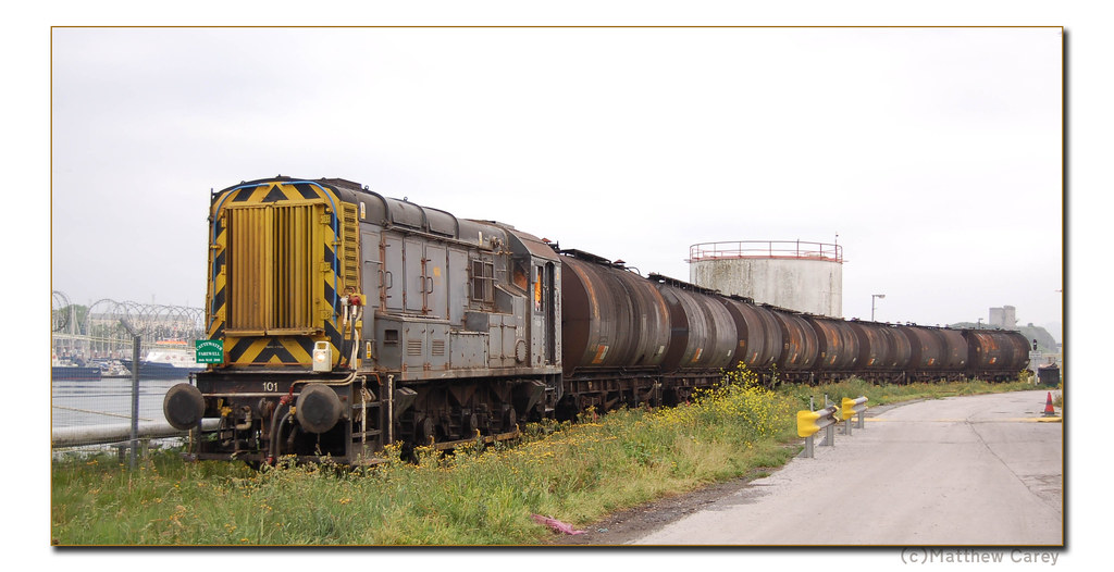
The last train to run all the way onto the Cattedown oil depot as captured on camera by Matthew Carey back on the 16th May 2008:

Last train from Cattedown

06 May 2010

Cattedown Tidied

A bit of a tidy up at Cattedown


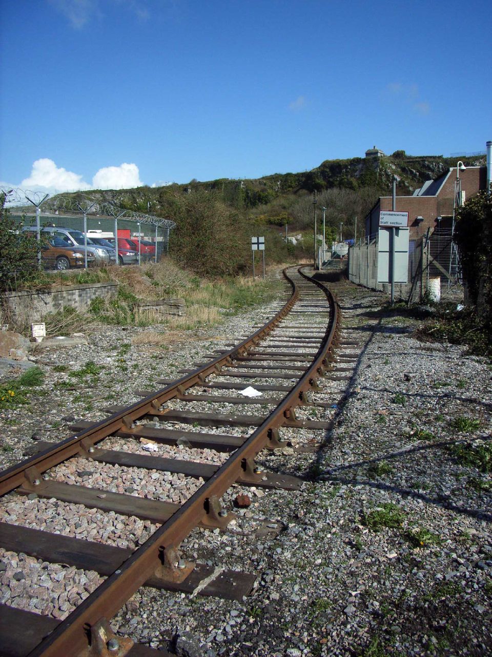
Another couple of photos from the  Cattedown walkabout showing just how much has changed over the last few years... General view of the terminal site 27-end-off-the-line The train tanks have long gone and there has been quite a bit of tidying up going on.
Uncle Terry
084: Pooh Corner 083: Sign on
TGP - the other Terry!
Omnibuses
New power of the Web
PTOTPA
Transport Illustrated
Somerset Coast


05 May 2010
CITYBUS: Alexandra Road will open to traffic on Friday 7th May Traffic will be under two way temporary traffic lights whilst the gas main replacement continues along Alexandra Road so some delays may occur All Plymouth Citybus services currently on diversion will return to normal route from Friday morning Thank you to our loyal cutomers who have been badly inconvenienced by these essential road works for sticking with us

PlymTransit on Twitter

10 April 2010

Terminal Decline

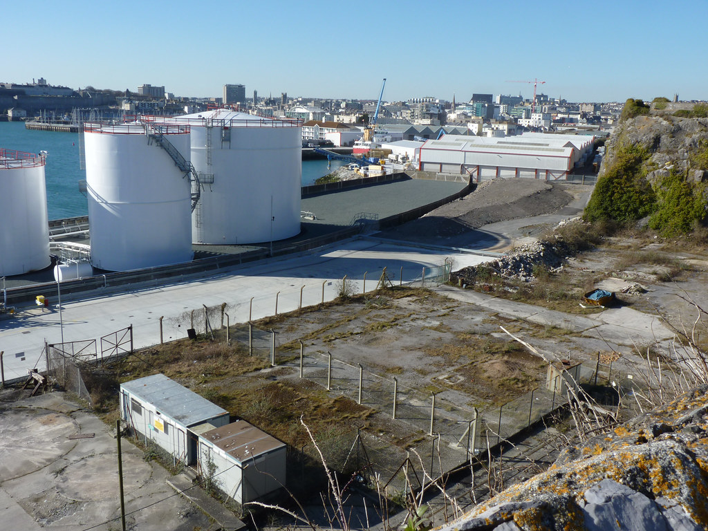
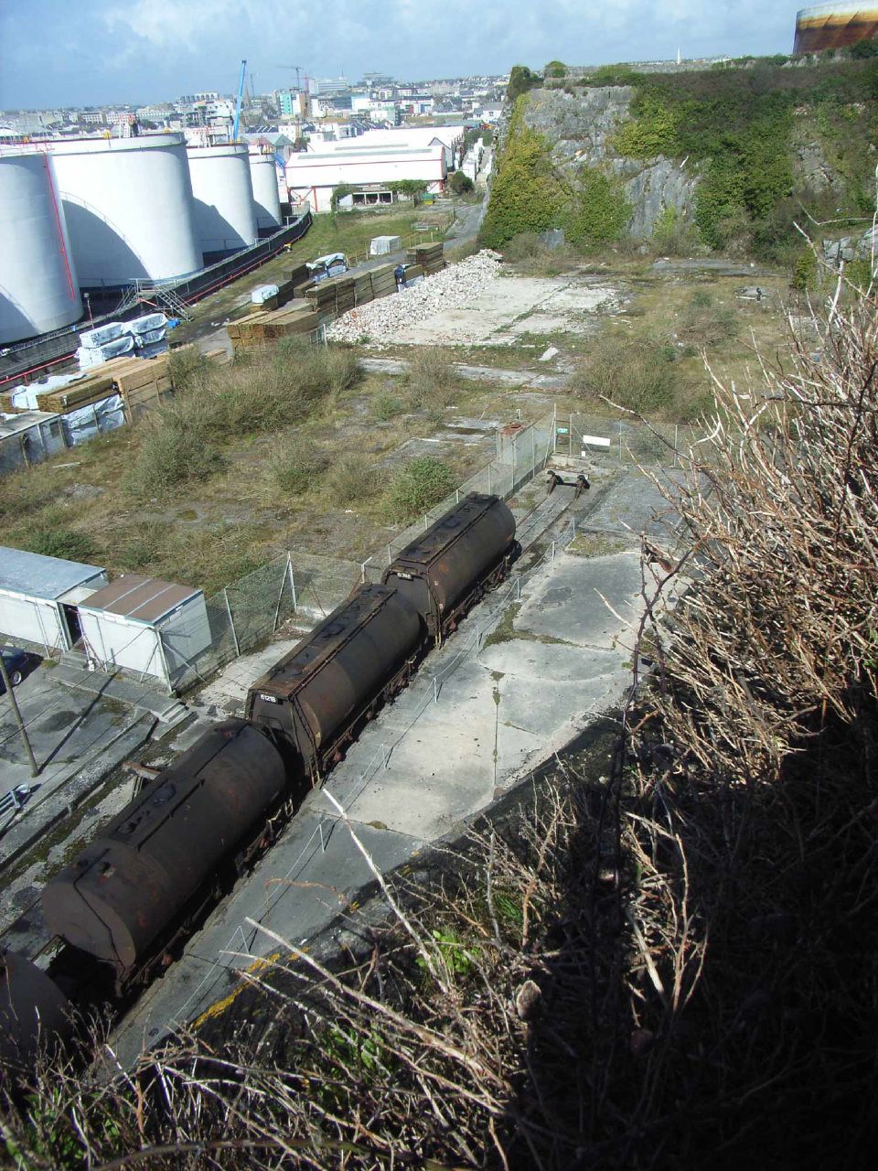
Looking down onto the Cattedown site


We have seen the current state of play outside the Cattedown Terminal so we now continue our walkabout and look down on a few relics of the past, still clinging on inside the site...

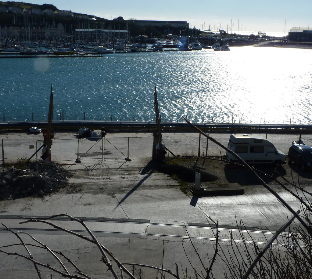
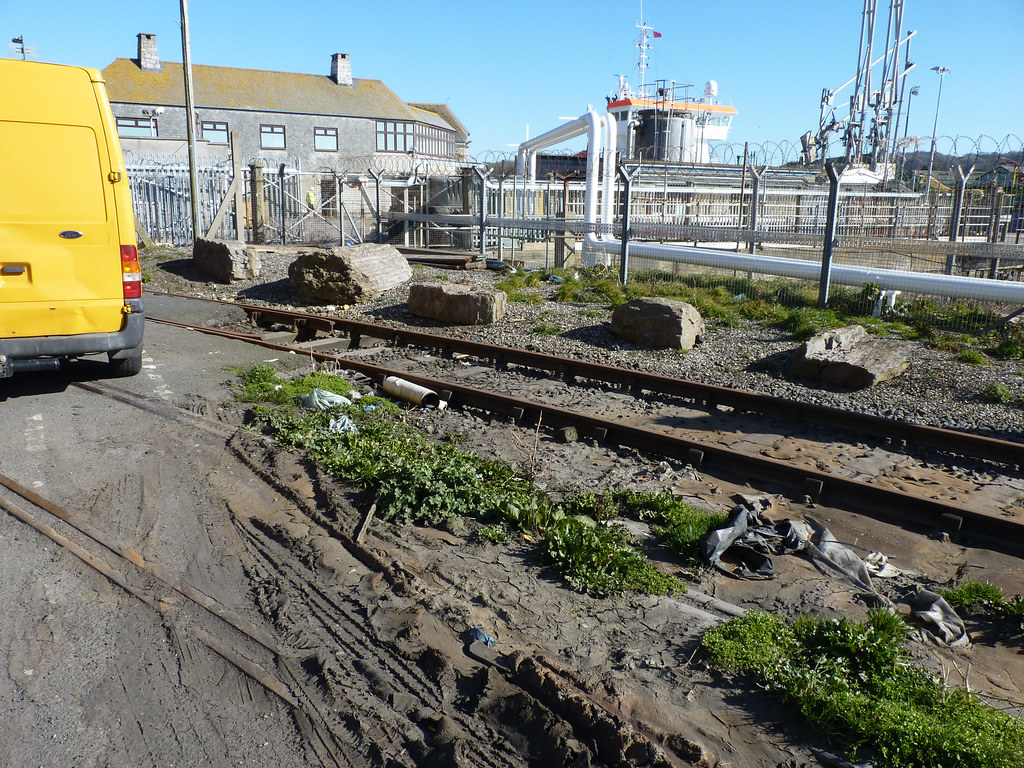
The track nearest the camera is still clearly in place but you can see the second track has been lifted where the vans are parked or covered over
Gated crossing

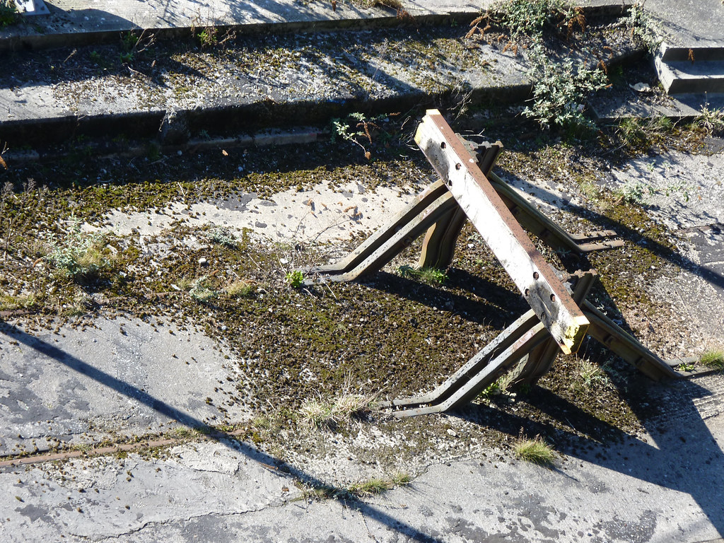
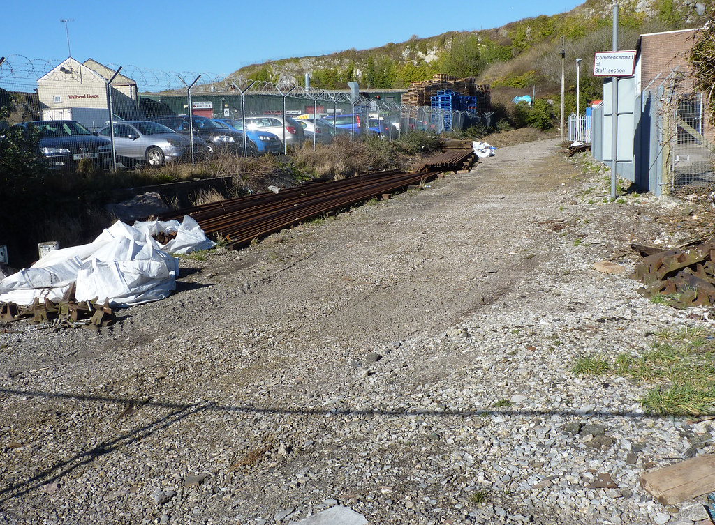
This really is the end of the line
End of the line
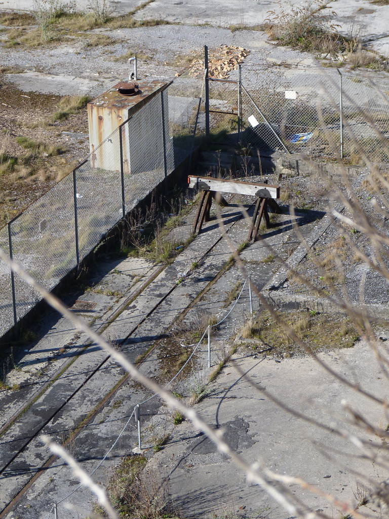
No chnace of these tracks ever seeing a train again.
End of the line
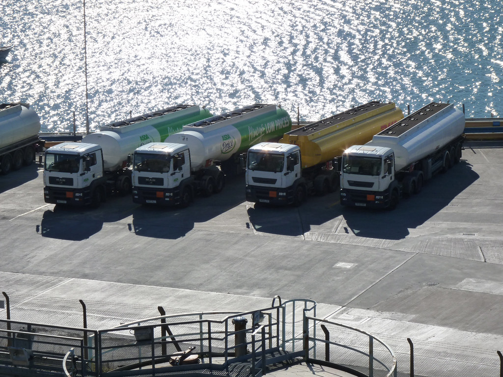
What has replaced the trains?
Why the trains have gone

A few more photos to follow...
Further Reading
Uncle Terry: Let the drain take the strain
Omnibuses: Always a reason
PTOTPA: New coach for A-Line
Highton-Ridley - Back to Black and white
Transport of Delight: Nationalisation in Scotland and Wales?
TGP: Colourful Scouring
Leon Daniels - Quick one
Transport Illustrated: Cobham Past (Bumper post!)

First on Twitter / Facebook
09 April
nope - nothing!
Citybus on Twitter / Facebook
09 April
nope - nothing!

PlymTransit on Twitter
Reblog this post [with Zemanta]

31 March 2010

Terminal Decline

The Cattedown walkabout continues


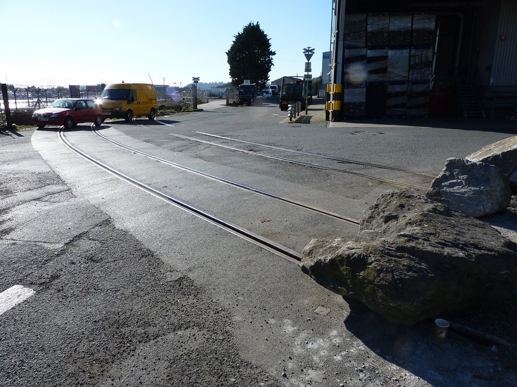
The railway crossing at the entrance to Cattedown Oil Terminal site. Tracks across the road The tracks across the road are still in situ, but even without the vans parking acros the tracks the big rocks tell you that no trains pass this way now. If you look to the right you can see where the tracks have been lifted, and even the pile of tracks still sitting there, no doubt waiting to be carted off somewhere. Gone! It used to look like this... 20-Railway
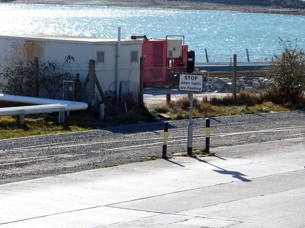
The other side of the van you cn get a clearer view of the track that remains Into the terminal Just dont expect the lights to ever flash again... Stop!
Further Reading
Omnibuses: All that glisters...
PTOTPA: Derrick returns to Target
Uncle Terry: Double Glazed
Transport Illustrated: Bristol Running Day


First on Twitter / Facebook
30 March
1309: PLYMOUTH/EAST CORNWALL: New Service 76 timetable (Plymouth - Saltash - Callington - Launceston) from Monday 13th April 16:28 PLYMPTON: Emergency closure of Moorland Rd again from 1830 tonight. ugo 12 will be diverted via Hilcrest Dr/Glenn Rd
Citybus on Twitter / Facebook
30 March
14:45 Devonport Hill the OUTBOUND stop at Richmond Walk will be out of use until Friday this week There is no space for a temporary bus stop.
14:50 Wednesday 31st March for 2 days the OUTBOUND stop at Cumberland Gardens will be out of use A temp stop will be placed after the roundabout

PlymTransit on Twitter
Reblog this post [with Zemanta]

27 March 2010

Cattedown gets a little less interesting

The Cattedown Level Crossing


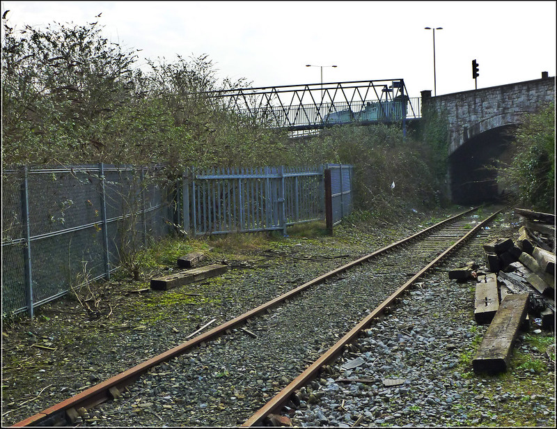
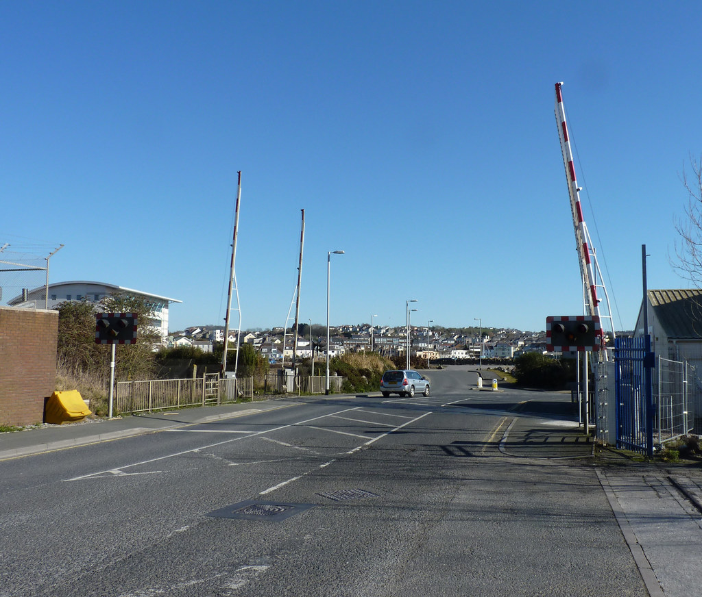
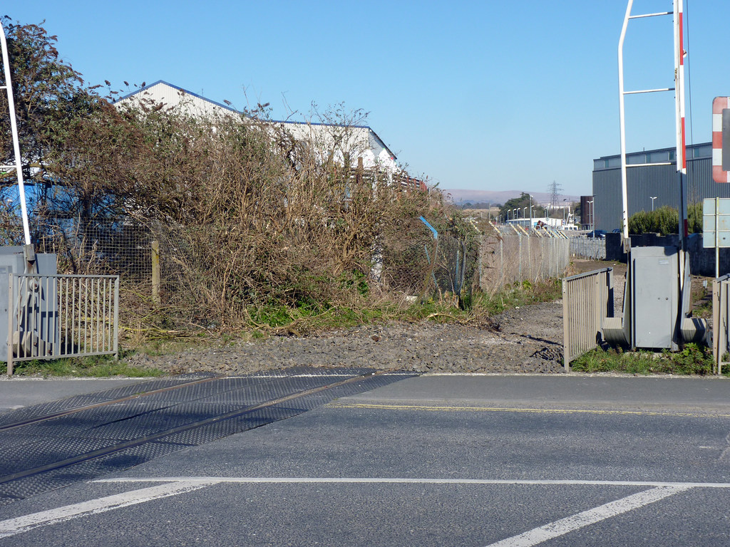
Continuing the walk through Cattedown we reach the old level crossing. At first glance all seems well... Level Crossing Sadly it all goes downhill fast when we stand on the crossing and look right towards the oil terminal Gone! Compare this with the view from a few years ago 14-Tunnel The view looking left back towards Laira is just a depressing Gone! With a comment left earlier that even the scrap yard has been looking to relocate to larger premises I guess its only a matter of time before the whole branch line gets lifted and another bit of transport history disappears for ever.
Further Reading
Transport of delight: How to drive a train (class 378)
WHOTT Friends - NARTM
Omnibuses: meets Gavin Booth
PTOTPA: Driver CPC
In the news
Mutley Plain Works - may finish early!


First on Twitter / Facebook
26 March
12:16 We're pleased to be operating the Dartmouth Park & Ride service from Sunday 28th March. For more information and a timetable please click here
Citybus on Twitter / Facebook
26 March
10:41 Rob Harris: on behalf of all the drivers who were working late last night sorry for any inconvience due to late buses or not turning up in the crownhill derriford areas . it was a total night mare for us too . delays out of derriford all evening due to road works and traffic managment and then to top it all a collision on top of... crownhill fly over that closed the road for some time preventing use from servicing crownhill village we as drivers and city bus do our best to run our services for you but it just goes out of our hands some times
20:56 Don't forget about the clocks going FORWARD Sat night/Sun morning !!!!!!
21:44 Delays expected Crownhill by The Tamar P/H in bound due to R.T.C.
22:21 RTC at Crownhill has been cleared up, traffic running freely again.

PlymTransit on Twitter

24 March 2010

Quayside Railways

  Continuing the walk into Cattedown


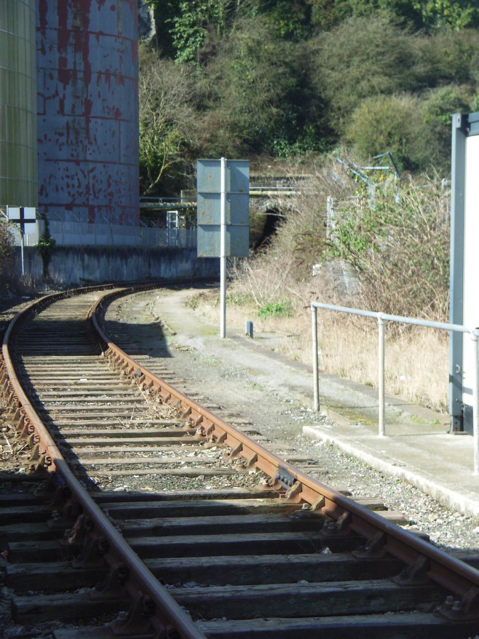
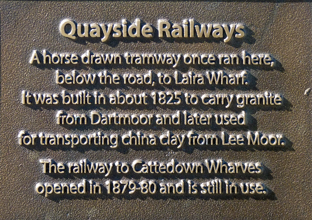
The next set of photos from my walk into Cattedown a couple of weeks ago. It is nice to see these signs being placed along the route letting people know little snippets of transport history. Quayside Railway At least the track is still in place here. The Cattedown Branch
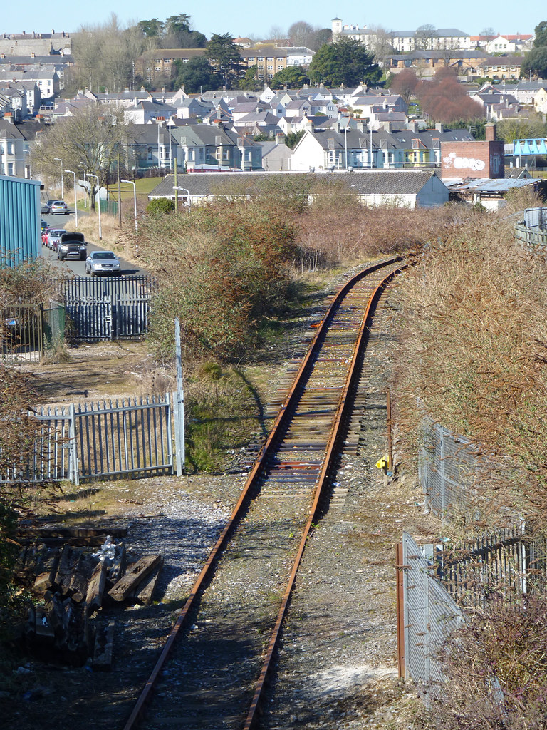
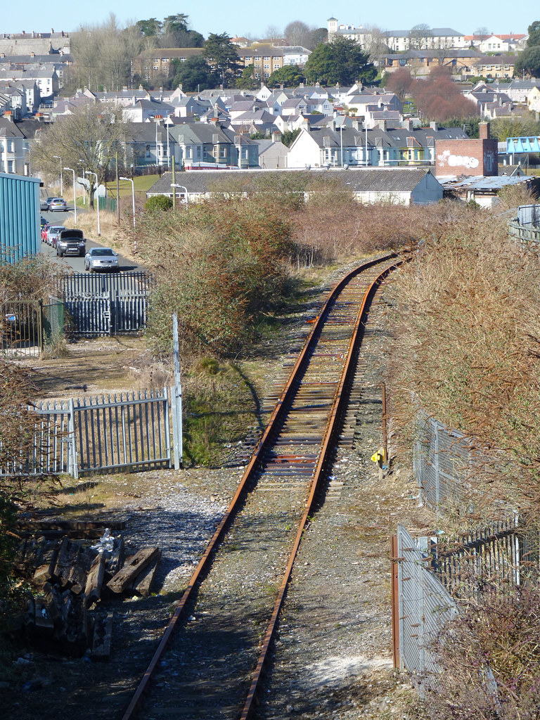
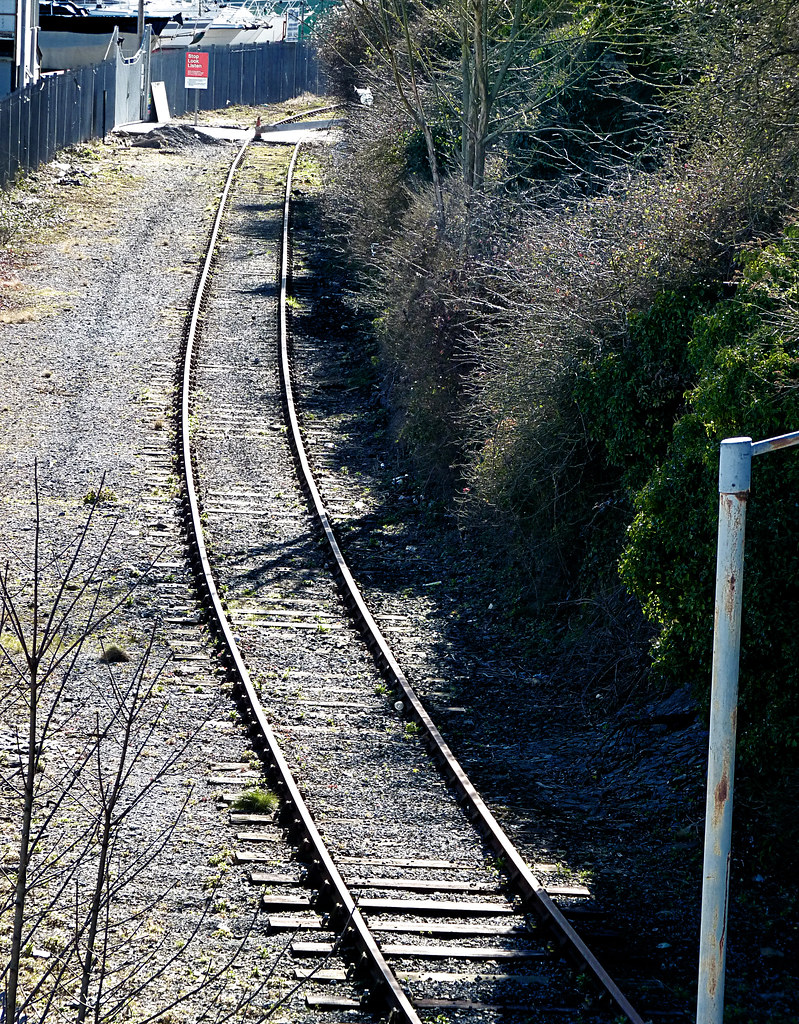
There is still the occasional train serving the scrap yard which is just around the corner on the left The Cattedown Branch Sadly I have to wonder just how long the trains will still serve the scrap yard.

If you subscribe to this blog in a reader you may have seen a new post last night about a 50p fare offer for Plymouth. It was in fact an old story from last year which mysteriously arrived in my reader again this year so I thought it was new news! It was only when I added it to my calendar I realised that the days didn't match up!
Further Reading
Omnibuses: Bus speeds
Omnibuses: MSPTE
Omnibuses: Underwired
TGP Public: Museum of Delights
TGP Public: On the banks of Ribble
PTOTPA: Ex Mayflower Trident
PTOTPA: 40002 in the fog (nice pic)
Uncle Terry: Take a deep sniff
Leon Daniels: Free bus travel for rail passengers (Trial)
In the news
Wolmers on Byers v Adonis


First on Twitter / Facebook
22 March
07:10 PLYMOUTH: Mutley Plain gasworks lane closure starts today. Most buses okay except the 81C which is being diverted
10:01 Looking for your 2010 Summer holiday? Truronian have some great holidays across the UK & Europe from Brighton to Italy
23 March
09:04 The A38 slip road at Ivybridge is currently closed to all traffic and disrupting services 180 & X80 in serving Ivybridge. Further information is being sought from the Police and updates will follow as soon as we have them. We apologise for any inconvenience caused due to circumstances beyond our control.
09:13 There's been a 3 car accident on True Road, Totnes which is blocking the road & causing delays to service X80/X81. Updates to follow ASAP
10:54 The A38 Ivybridge slip road closure was the result of a car breaking down on slip road and the workmen not being able to remove the cones/barriers from the overnight works,. This has now been cleared. Thanks for your patience.
Citybus on Twitter / Facebook
23 March
14:02 Services 44,44A unable to service Taunton Ave due to traffic congestion, will update when clear
14:26 Taunton Ave now clear, all services back to normal routes

PlymTransit on Twitter

02 May 2009

Ryder Away


"Sadly the days of smart Ryder trucks lined up at the front are now over”


I have spent a large portion of the weekend so far going through old photos on CDs and uploading them, onto my Flickr account as its easier to find them on line. One of the random disks I came across today contained a few old photos from the Ryder Depot at Sutton Road. I think these are from 2002 but possible slightly later. I am not sure when they moved out, but last time I passed through this way the depot was in use by someone else.
Ryder Severnside Ryder Ryder Sadly the days of smart Ryder trucks lined up at the front are now over. The depot location:

Google Maps.